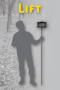
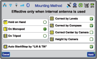
First, put TRIUMPH-VS in "Lift & Tilt" mode.
Then, go to the survey mark, lift TRIUMPH-VS to near vertical (better than 5 degrees). Survey will start automatically and sensors continuously compensate for leveling offsets. Audio tones keep you informed of the survey progress. You can use a headset if you are in noisy area. You can also take notes by talking to TRIUMPH-VS.
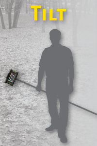
When you are happy with the survey result, just tilt the TRIUMPH-VS (more than 15°) and walk to the next point. TRIUMPH-VS will close files automatically.

Then go to your next point. Lift it up and do again as you did in the previous survey point: Do Nothing! Just lift it up to near vertical.

When you are happy again, tilt it again, and walk to the next point. Points and file names will auto-increment. You can over-write names if you like.
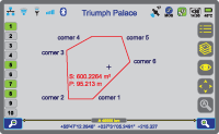
If you are doing a parcel survey (for example) after the last parcel point, push "Parcel End" and see the parcel map, parcel area and parcel perimeter instantly.